Support the operation. Understand the airspace around it.
A manufacturing operator uses multiple sensors to support awareness around its own drone operations and identify unapproved third-party activity.
Read deployment story
Drone delivery is here. Security and UTM need current intelligence. Track hundreds of supported drones with one AMS sensor—and deliver live data normally in under one second over cellular.
At 40 mph, a drone travels 1,173 feet in 20 seconds. A delayed track can leave your team working from a position more than a thousand feet behind the aircraft.
AirSentinel normally delivers live-track data in under one second over cellular—preserving more time to assess and respond.
Constant-speed, straight-line illustration. Actual data delivery depends on configuration and connectivity; notification and human response are separate.
Approximately 358 meters beyond the last reported position
Used today by Fortune 100 companies and U.S. Department of War organizations.
AirSentinel operates across cold-weather locations, heat and humidity, industrial facilities and dense urban sites. That experience informs how we plan sensor placement, connectivity and coverage around each mission.
A manufacturing operator uses multiple sensors to support awareness around its own drone operations and identify unapproved third-party activity.
Read deployment storyA professional sports venue combines its own sensors with authorized shared city observations to understand activity beyond the venue perimeter.
Read deployment storyA military air installation evaluated AirSentinel alongside its previous system to assess target capacity, reception and information delivery in its own environment.
Read deployment storyAn urban campus combines closely spaced AMS sensors with open-API integration to existing CCTV for earlier awareness and visual assessment.
Read deployment storyChoose the RF capability your mission needs. Connect it to Atlas or the platform you already use.
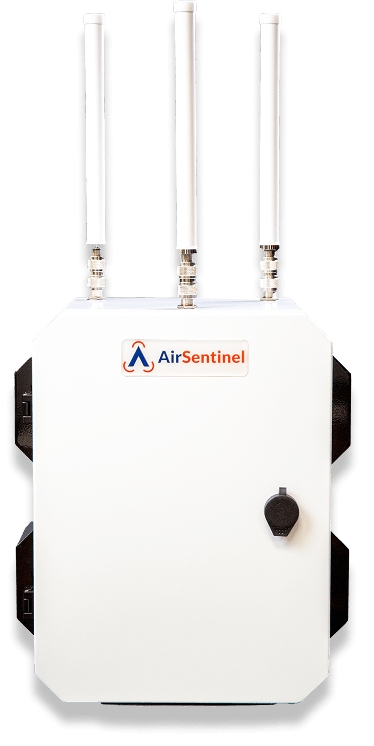 Enclosure reference · V10: 4 antennas · Pro / Pro Max: 5
High-density Remote ID sensing for security, UTM and persistent airspace awareness.
Connect live observations with recurring activity, shared history and the people responsible for response. Atlas brings compatible sensors together and delivers useful intelligence to the systems your team already uses.
Explore Atlas capabilitiesPatterns of Life connects observations across time and authorized shared locations.
Authorized shared-flight links open in a browser without an app or a separate login for that view.
Ingest third-party sensing and send AMS and sensor-fusion intelligence to other C2, security and intelligence platforms.
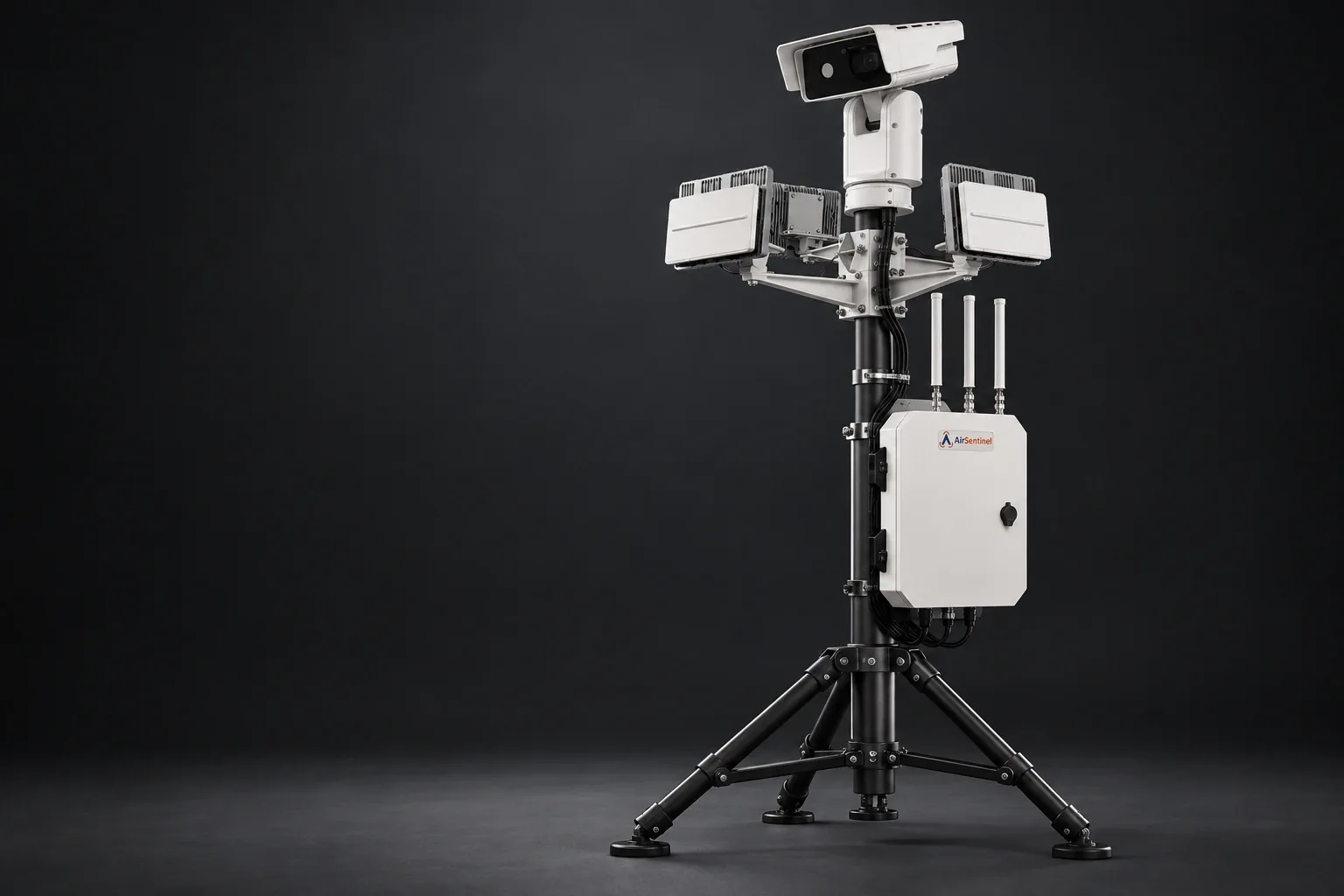
Integrated RF / radar / optical deploymentRF contributes identity and location. Radar adds physical tracking. Optical systems help operators verify what is there.
We integrate Echodyne radar and optical systems from vendors including Axis and Bosch, with Atlas connecting the available tracks and context.
Current aircraft location, available ground-location context and historical activity help authorized teams assess an event. AirSentinel connects that intelligence with command systems and response workflows, including integrations with appropriately authorized counter-UAS partners.
Explore counter-UAS integrationReview recurring activity, known aircraft and approaches to sensitive locations.
Deliver live tracks and available pilot or control-station location to the people responsible for response.
Integrate with existing command systems and appropriately authorized counter-UAS partners.
Tell us what you protect, the aircraft you need to detect and the systems your team already uses.