Understand legitimate use
Relate aircraft identifiers to expected research, facilities or production flights. Review where and when a flight occurs as well as whether the aircraft is familiar.

Drone detection for universities, athletics facilities and stadiums. Connect everyday campus monitoring with the different demands of game day and major gatherings.
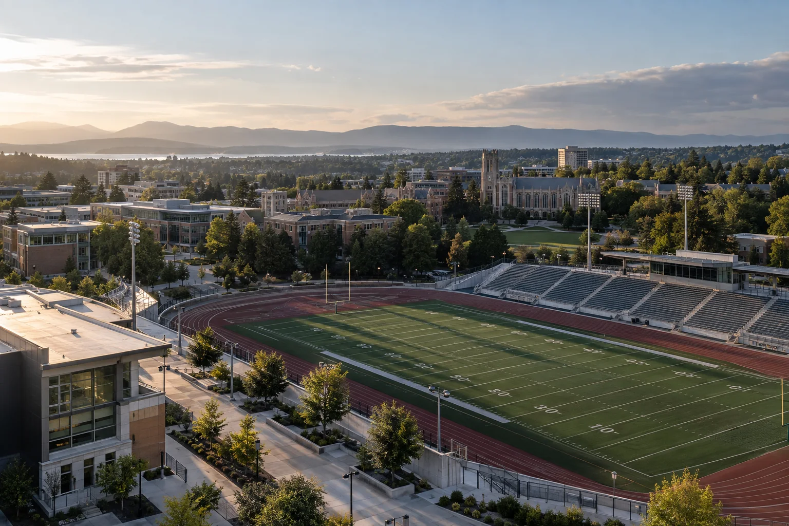
A university may have research aircraft, facilities inspections, student activity and authorized media flights in the same area. A stadium adds production crews, public-safety partners and a concentrated audience. Treating every detected aircraft as the same problem creates unnecessary work and weakens the value of the alert.
AirSentinel helps campus teams combine current observations with known-aircraft context and available flight history. Persistent AMS coverage can support normal operations, while Atlas brings monitored locations and authorized event personnel into a shared picture when the venue becomes busy.
Relate aircraft identifiers to expected research, facilities or production flights. Review where and when a flight occurs as well as whether the aircraft is familiar.
Use authorized shared history to review observations around academic buildings, residences, athletics facilities and other monitored areas.
Define command responsibility, event zones and field sharing for athletics security and campus or local public-safety teams.
Large stadium structures can screen low-altitude approaches, and campus buildings divide the site into very different reception environments. Test the required areas at the heights and locations relevant to the mission. Do not assume that visibility from one elevated position establishes coverage throughout the campus.
Start with the appropriate AMS configuration and add sensing layers where required. Radar contributes physical tracks; optical systems support visual assessment within their field of view. Integrate them around specific coverage and confirmation needs so the deployment remains useful on ordinary days as well as at capacity events.
Explore RF, radar and optical integrationMaintain awareness of scheduled university and production flights and the team responsible for each monitored area.
Review the detected track, location, available identifier and relevant history.
Share useful flight context with authorized campus, athletics and public-safety personnel through the agreed command process.
Use observations from routine days and major events to improve coverage, notifications and planning for the next gathering.
Atlas can bring compatible third-party sensors into the same operational picture and supply AMS or configured fused data to existing C2 and intelligence systems. Agree access across campus departments and event partners. A shared-flight view can reduce account friction for authorized field recipients, while broader historical access remains governed by the institution’s permissions and records practices.
Explore Atlas interoperabilityAgree the acceptance criteria before the deployment, then exercise the full workflow.
Read the evaluation guideYes. The sensing design, monitored zones and sharing workflow can be planned around both operating modes. The event may call for additional sensing or temporary team access.
No. Familiarity helps assessment, but permission and relevance depend on the actual flight, place and time. Review those details against the institution’s operating procedures.
A professional sports venue combines its own sensors with authorized shared city observations to understand activity beyond the venue perimeter.
Design persistent campus awareness and a clear event response workflow.