RF
Identity + available location
Remote ID and supported DJI or Autel signals contribute aircraft information, coordinates and available operator-location context.

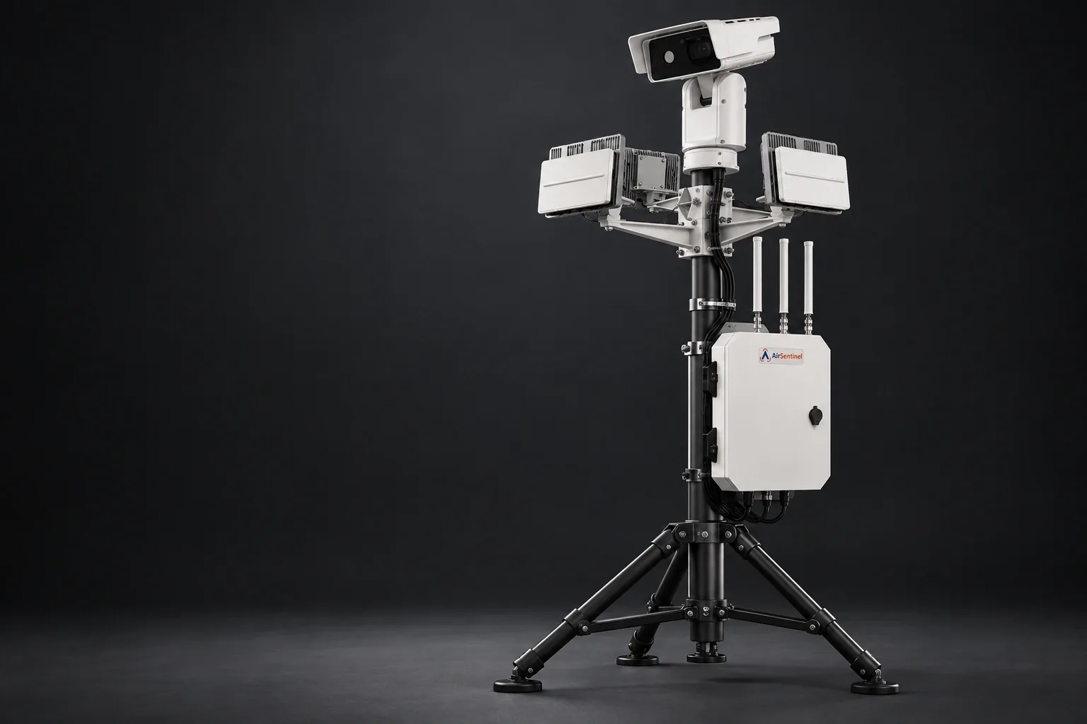
RF intelligence. Echodyne radar. Optical verification. Bring complementary sensing into one mission-ready architecture.
No single sensing layer answers every question. Design the package around the information your team needs.
Remote ID and supported DJI or Autel signals contribute aircraft information, coordinates and available operator-location context.
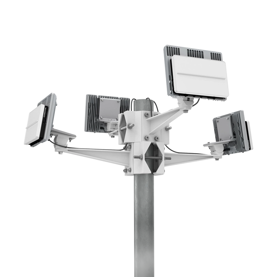
Echodyne radar adds tracks when a useful RF broadcast is absent. Select radar models, panel count and placement for the required coverage.
Cue compatible PTZ cameras and use panoramic imaging, thermal sensors and supported AI analytics to help assess a tracked object.
Correlate available sensor information, review the event and share useful context with the teams responsible for response.
AirSentinel integrates Echodyne radar and optical systems from vendors including Axis and Bosch. The best combination depends on your site and mission.
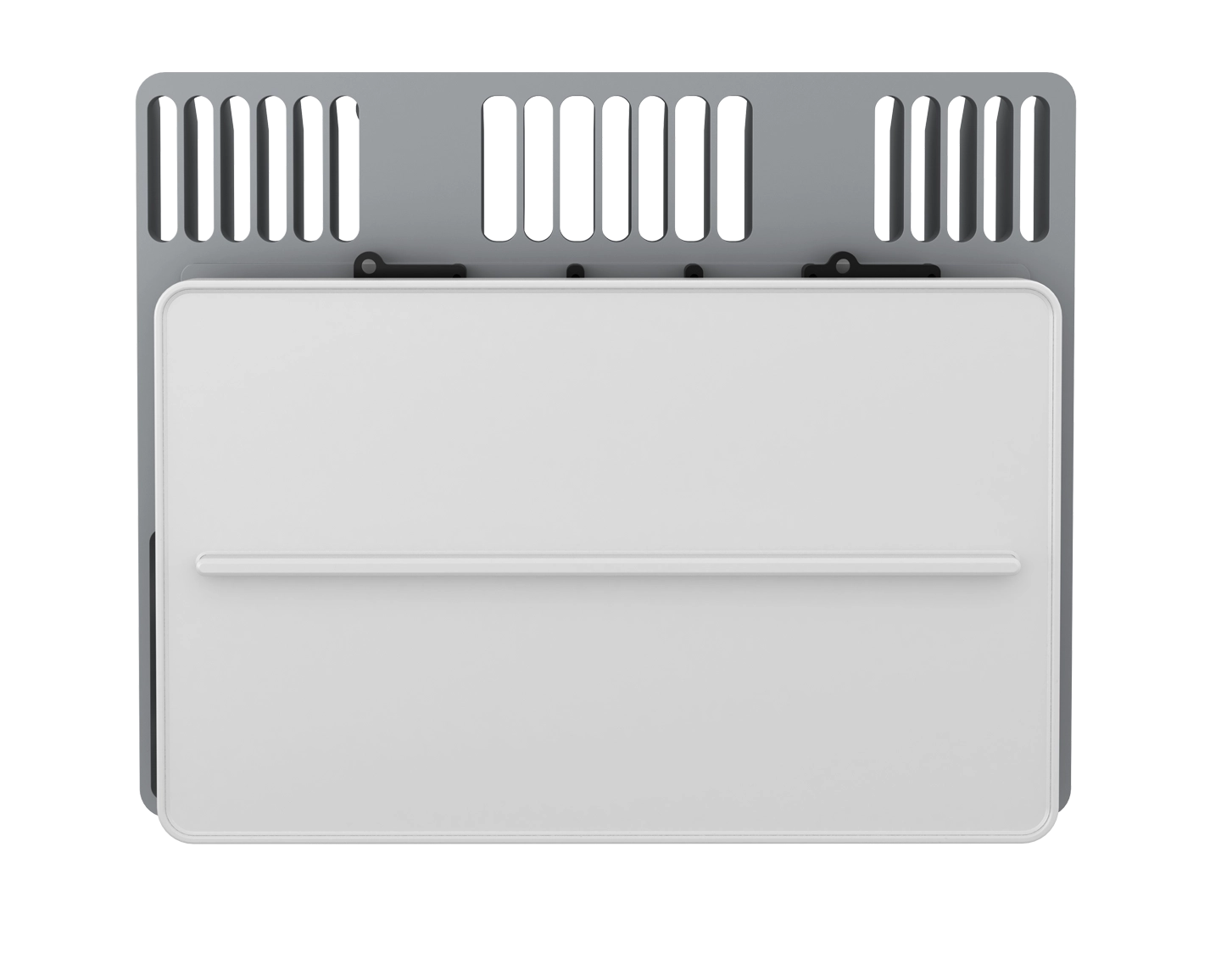
Compact radar for local airspace security. Integrate physical tracks with RF identity and optical verification.
Manufacturer specifications ↗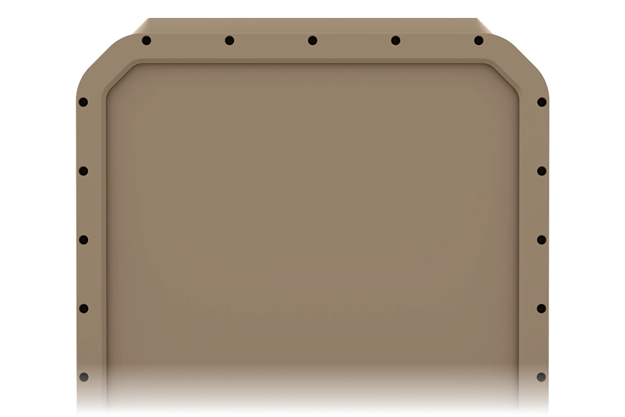
High-performance 4D radar for demanding coverage requirements and precise camera cueing.
Manufacturer specifications ↗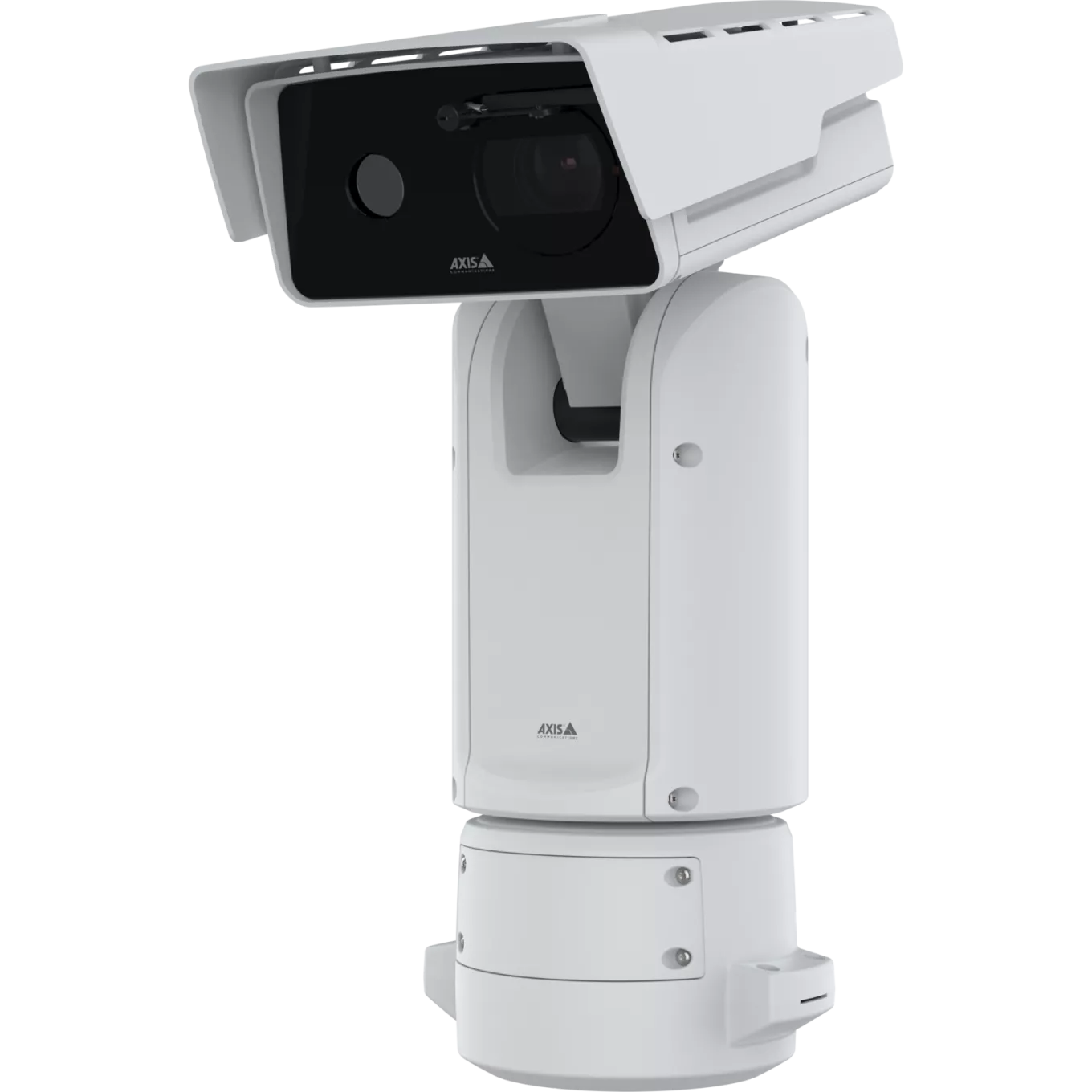
A thermal and visual positioning camera for continuous pan, wide tilt coverage and long-range observation.
Manufacturer specifications ↗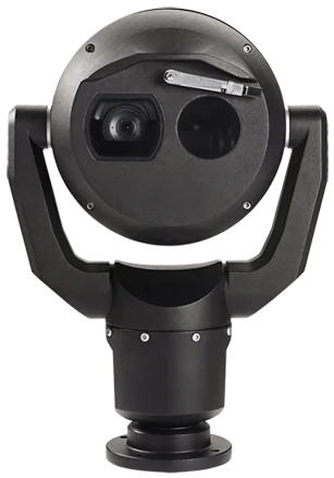
A rugged thermal and optical PTZ camera for demanding perimeter and site environments.
Manufacturer specifications ↗Illustrative integration options. Model availability, interfaces, analytics and configuration must be confirmed for the proposed deployment. Manufacturer images shown for product reference.
Radar contributes range and motion information independently of Remote ID. EchoGuard and EchoShield give us options to design the radar layer around the monitored volume, target classes and installation.
We scope panel geometry, field of view, track output and camera cueing as part of the integrated system. A multi-panel mount can expand azimuth coverage; a single radar panel should not be assumed to provide 360° awareness.
Use 360° panoramic or multi-camera imaging for broad awareness, and long-range positioning cameras for closer examination. Thermal and visible-light sensors offer different strengths across changing conditions.
Compatible AI-based object detection can assist tracking and assessment. Actual detection, recognition and identification distances depend on optics, target size, weather, lighting and line of sight.
The Axis Q8752-E Mk II pairs thermal and visual imaging in a positioning camera. Bosch MIC fusion combines thermal and optical sensing in a rugged PTZ platform. AirSentinel remains vendor agnostic.
Aircraft, coverage volumes, existing systems and the information operators need.
RF, radar, cameras, network, power and APIs in a site-specific architecture.
Coverage, track correlation, camera cueing and information delivery in the actual environment.
Let’s build the right airspace picture for your mission.