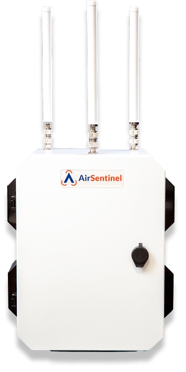
01 / RF SENSING
AMS sensor family
Remote ID, supported DJI O1–O4 intelligence and advanced supported decryption. Choose V10, Pro or Pro Max for your mission.
Compare AMS sensors
Start with AMS RF sensing. Add Echodyne radar for physical tracking and optical or thermal cameras for visual assessment. Connect the layers through Atlas—or integrate AirSentinel intelligence into the platform you already use.
Remote ID, supported DJI O1–O4 intelligence and advanced supported decryption. Choose V10, Pro or Pro Max for your mission.
Compare AMS sensors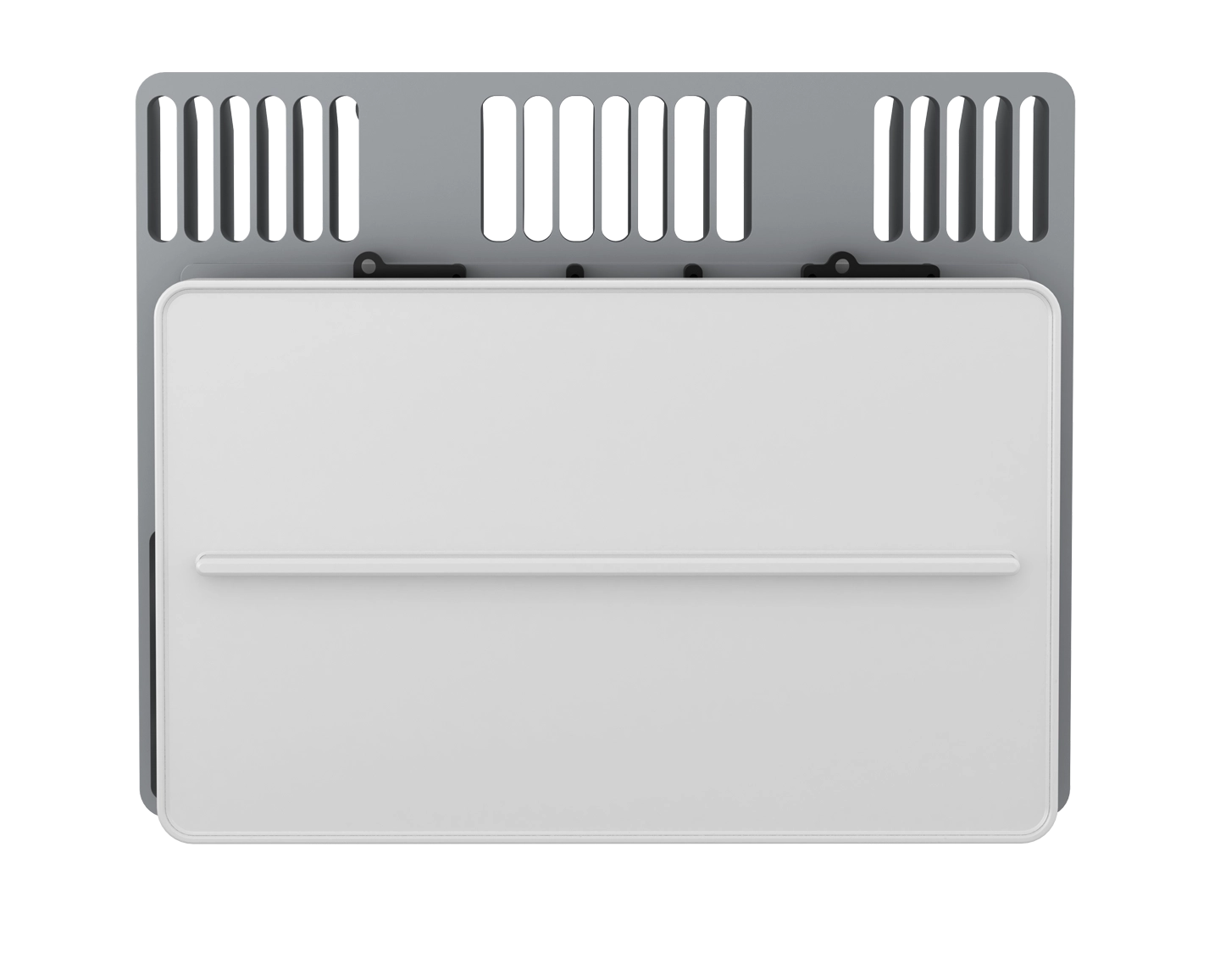
Add physical tracks when useful RF broadcasts are absent. Configure EchoGuard or EchoShield around the coverage volume and site.
Explore radar integration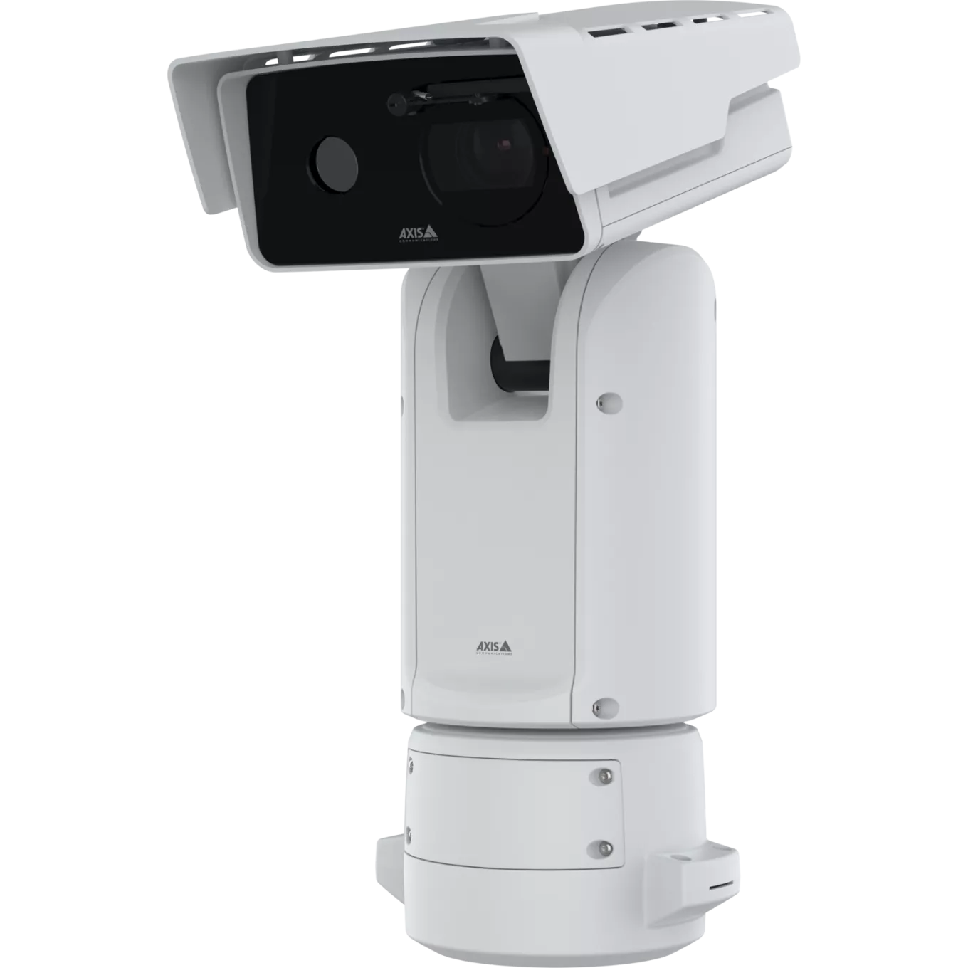
Combine panoramic awareness, PTZ positioning and AI-assisted assessment. Integrate Axis, Bosch and other compatible camera systems.
Explore optical integrationAMS enclosure image is a reference; model configurations vary. Manufacturer imagery identifies integration components.
Broad reception in open environments. Planned sensor density around buildings and industrial structures. We shape the deployment around the airspace your team needs to see.
Range depends on the environment, aircraft, antenna placement and installation. Site testing establishes persistent coverage.
Explore AMS installation specifications¹ IP65-rated shared AMS enclosure. Confirm connector protection and environmental requirements for the installation.
At 40 mph, a drone travels 1,173 feet in 20 seconds. A delayed track can leave your team working from a position more than a thousand feet behind the aircraft.
AirSentinel normally delivers live-track data in under one second over cellular—preserving more time to assess and respond.
Constant-speed, straight-line illustration. Actual data delivery depends on configuration and connectivity; notification and human response are separate.
Approximately 358 meters beyond the last reported position
AirSentinel’s Layer 3 packages bring AMS RF, radar and optical sensing together. These sources answer different questions: what is transmitting, what is physically moving and what an operator can visually assess.
Explore integrated detection systemsAtlas accepts compatible third-party sensors and can deliver AMS and sensor-fusion intelligence to other C2 and intelligence platforms. Your sensing choices stay independent of the interface your team uses.
Explore Atlas interoperabilityUsed today by Fortune 100 companies and U.S. Department of War organizations.
AirSentinel is deployed across demanding climates and operating environments—from cold-weather installations to heat and humidity, industrial facilities and dense urban sites. We bring that field experience to the coverage, connectivity and installation plan for your operation.
Explore your operating environmentLet’s build the right airspace picture for your mission.