Define the information requirement
Specify the required target set, available identity and position fields, update behavior and operating environment before evaluating a configuration.

Drone detection and intelligence for government facilities and defense environments. Integrate AMS and Atlas into the command, sensing and response architecture defined by the mission.
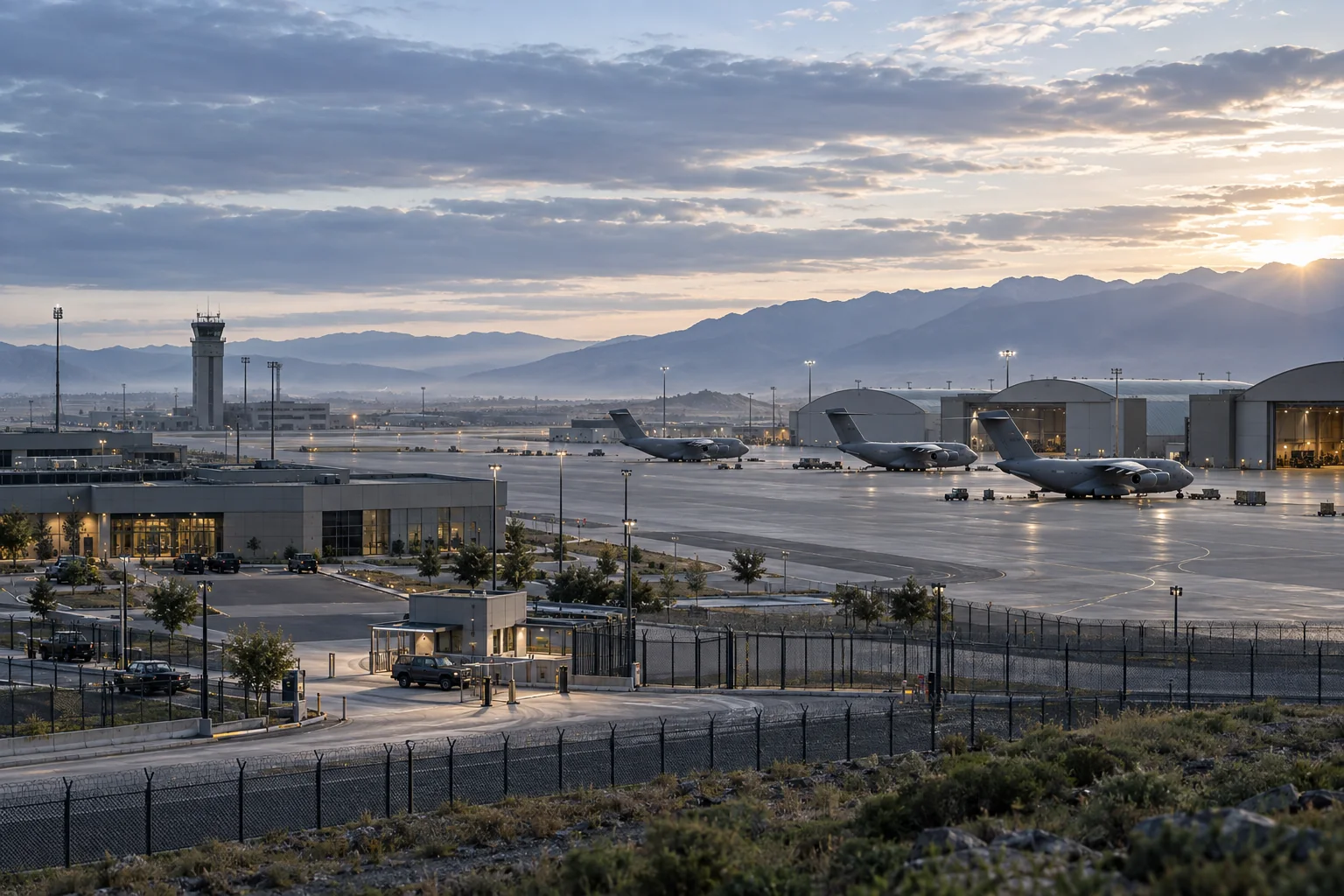
Government programs need a clear account of which aircraft and signals are supported, what data is delivered and how that information reaches the operator. A sensor’s acquisition capability and the receiving C2’s workflow must work together. Product selection should also address integration, sustainment and the program’s sourcing requirements.
AirSentinel provides an open sensing and intelligence layer. AMS sensors expose cloud and local APIs, while Atlas can ingest compatible third-party sensors and deliver configured fusion data to other command and intelligence platforms. The architecture can support an existing command environment or use Atlas as the operator’s interface.
Specify the required target set, available identity and position fields, update behavior and operating environment before evaluating a configuration.
Combine supported RF observations with appropriate radar and optical inputs. Keep source attribution and confidence meaningful as information is associated.
Deliver intelligence into the approved operator workflow and authorized response interfaces, with roles and responsibilities defined by the program.
Select AMS V10 for the Remote ID foundation, Pro for supported DJI O1–O4 acquisition, or Pro Max for supported advanced decryption requirements. Aircraft model, firmware and configuration determine the fields available. A requirement involving unsupported or RF-silent aircraft calls for complementary sensing rather than an assumed extension of RF coverage.
Layered packages can integrate Echodyne radar and compatible Axis or Bosch optical systems. Specify installation, environmental and network requirements for the actual mission. AMS sensors are produced in the United States with U.S. and global components. NDAA-compliant V10 versions are available; versions of other AMS sensors can be produced on request, with the selected configuration and documentation confirmed during procurement.
Explore RF, radar and optical integrationAgree target coverage, data products, operating conditions and the interfaces that the program needs.
Map identifiers, timestamps, coordinates and source fields into Atlas or the selected C2.
Exercise detection, fusion, presentation and the authorized response handoff with representative equipment.
Plan configuration control, aircraft-support updates, maintenance and repeat acceptance after material changes.
Sensor agnosticism must work in both directions: third-party observations into Atlas, and AMS or configured fused information out to other C2 and intelligence systems. Confirm the destination’s interface, access controls and data handling requirements. Hosting, accreditation, disconnected operation and classified-network suitability are program-specific requirements to establish explicitly; open APIs alone do not establish those approvals.
Explore Atlas interoperabilityAgree the acceptance criteria before the deployment, then exercise the full workflow.
Read the evaluation guideYes. Cloud and local APIs support integration with compatible third-party platforms. Confirm the required data fields and validate the complete interface for the program.
NDAA-compliant AMS V10 versions are available. NDAA-compliant versions of other AMS sensors can be produced on request. Confirm the selected configuration and procurement documentation with AirSentinel.
A military air installation evaluated AirSentinel alongside its previous system to assess target capacity, reception and information delivery in its own environment.
Define the data, integration and configuration your mission requires.