Monitor a busy operating area
Observe supported aircraft at operational density. Test update behavior under realistic load rather than extrapolating from a one-aircraft demonstration.

High-density drone detection and data delivery for UTM and drone-delivery operations. Connect supported observations to the systems coordinating increasingly busy low-altitude airspace.
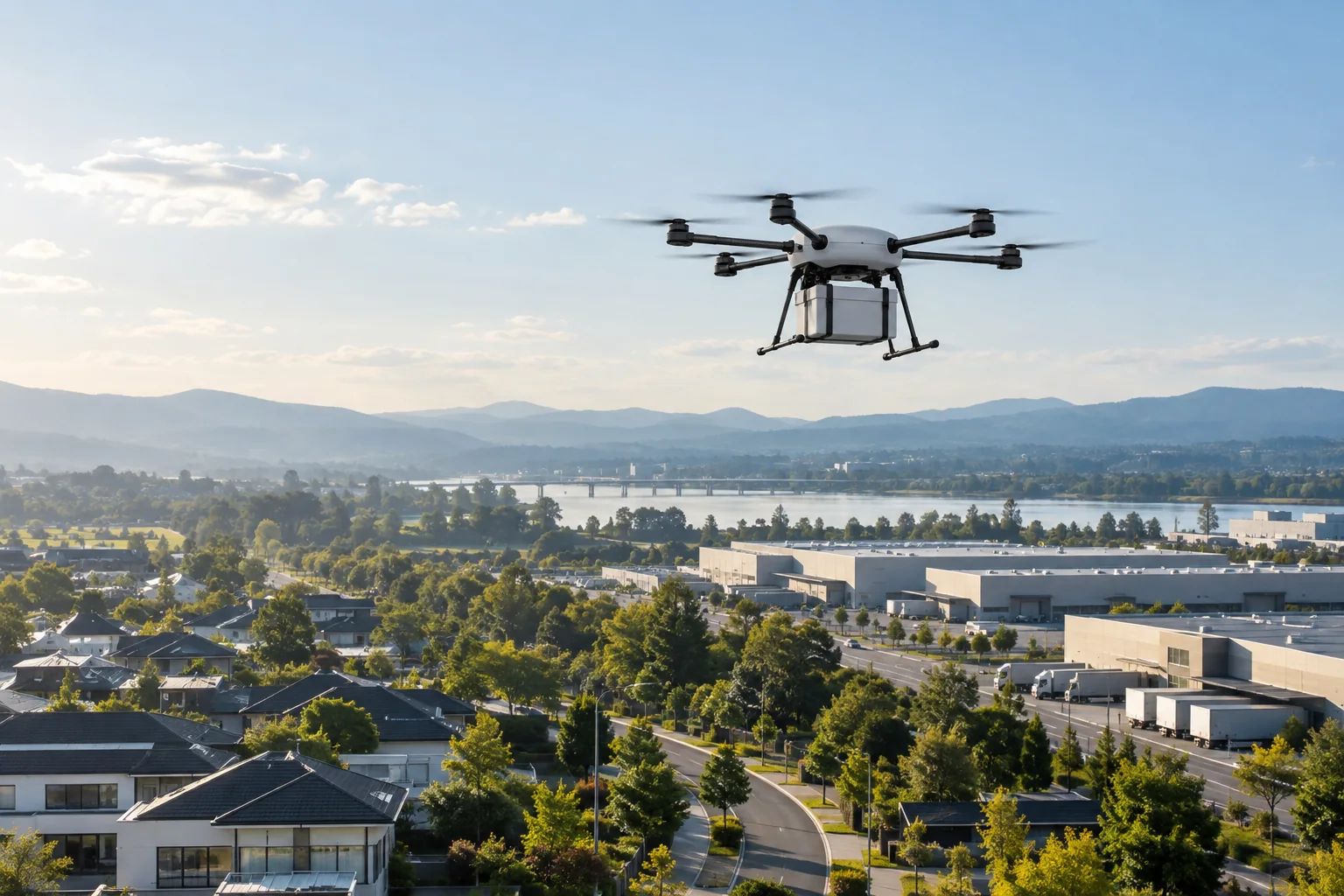
A delivery network needs more than occasional sightings. It needs usable observations across the areas where aircraft launch, transit and arrive, including activity from other operators. The value of a track depends on its age, continuity, identity and geographic coverage as well as the number of aircraft the sensor can process.
AMS is designed to track hundreds of supported targets simultaneously with a single sensor. AirSentinel reports live-track delivery normally under one second over cellular, subject to configuration and network conditions. Cloud and local APIs let customers incorporate that intelligence into their own operational systems.
Observe supported aircraft at operational density. Test update behavior under realistic load rather than extrapolating from a one-aircraft demonstration.
Plan overlapping reception where the operation needs continuity, especially around buildings, launch areas and recurring routes.
Deliver available aircraft information with agreed identifiers, timestamps and location semantics to the customer’s UTM or intelligence environment.
Remote ID reception provides useful broadcast identity and position, but it remains a reception-based observation. A Standard Remote ID control-station location and a broadcast-module takeoff point have different meanings. Unsupported or missing broadcasts create gaps that should remain visible in the operational data.
Dual-band ADS-B reception adds observations from suitably equipped aircraft on 978 and 1090 MHz. It broadens awareness of cooperative air traffic; it does not detect every aircraft or independently establish an approved detect-and-avoid capability. Radar and optical inputs can add complementary observations where the system requirements call for them.
Explore RF, radar and optical integrationSpecify the operating area, aircraft density, update needs, data fields and consumer interfaces.
Test representative flights, reception overlap, end-to-end timing and behavior when an input becomes stale or unavailable.
Feed AMS directly to the selected platform or use Atlas to combine compatible third-party sensors and export configured fused information.
Review the observed coverage and data quality as delivery volume, routes and neighboring operations change.
UTM combines services for coordinating low-altitude drone operations. AirSentinel supplies sensing and intelligence inputs within that wider architecture. A received Remote ID track is distinct from an operator’s planned flight intent; associating the two requires the appropriate identifiers and interface. FAA describes UTM as a cooperative ecosystem with interoperable services. Sensor availability alone does not constitute an operational authorization. Explore the FAA UTM framework.
Explore Atlas interoperabilityAgree the acceptance criteria before the deployment, then exercise the full workflow.
Read the evaluation guideNo. It provides sensing data for a broader operational architecture. UTM coordination, safety functions and operational approvals have their own requirements.
ADS-B can add received position reports from equipped aircraft to the awareness picture. Remote ID and ADS-B are different inputs, and neither alone covers every aircraft in the area.
A manufacturing operator uses multiple sensors to support awareness around its own drone operations and identify unapproved third-party activity.
Plan for traffic density, coverage continuity and interoperable data delivery.