Support legitimate inspection
Account for utility crews and approved contractors. A familiar aircraft identifier is useful context, while the actual time, location and scope of the flight still matter.

Drone detection for utilities, substations, water facilities and communications networks. Connect local observations with the people responsible for a distributed estate.
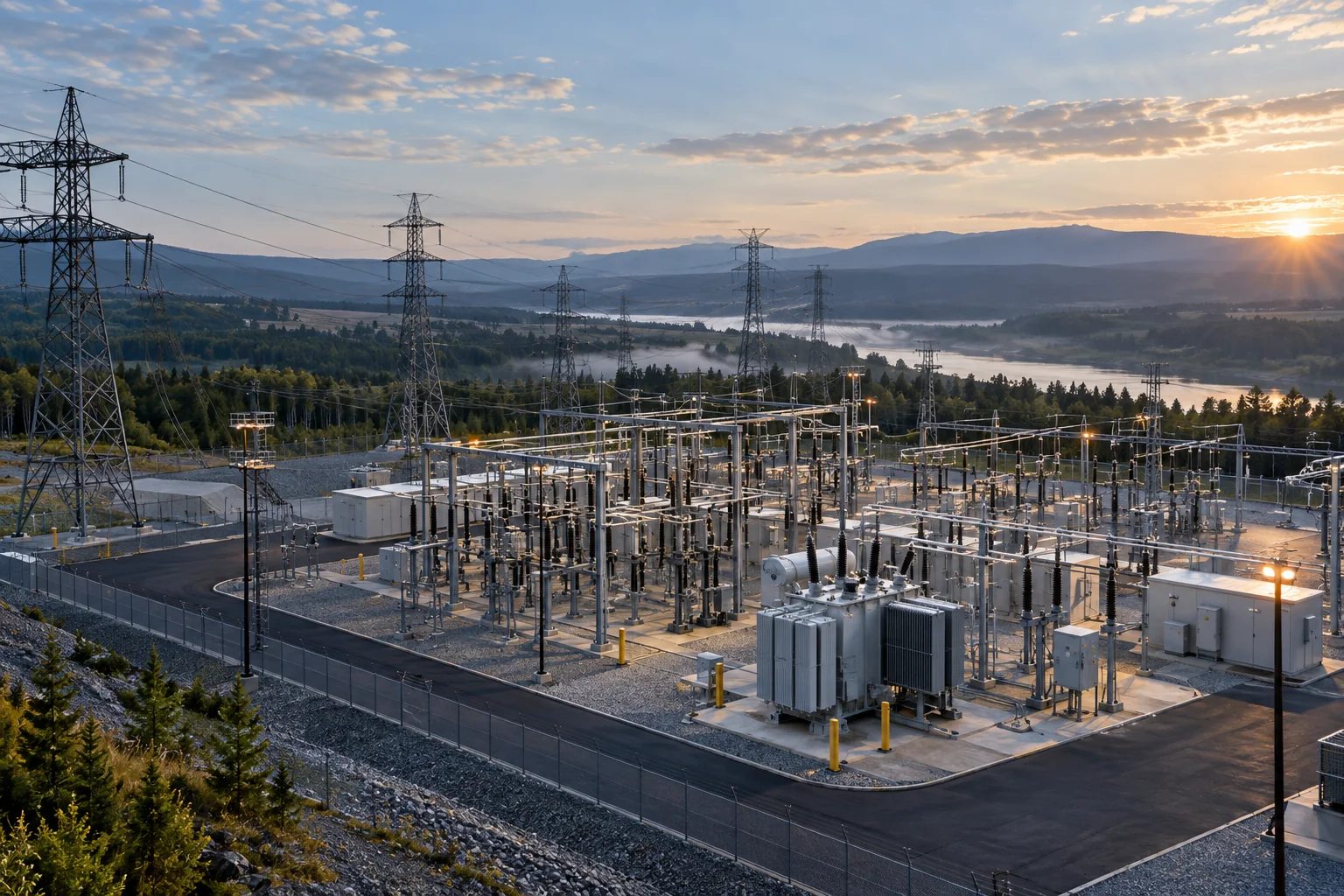
A utility security team may be responsible for a staffed generation site, dozens of remote substations and the infrastructure connecting them. Each location has a different operating rhythm, visibility and response time. A single perimeter alarm cannot explain whether an aircraft is carrying out expected work, passing nearby or returning to several sensitive facilities.
AirSentinel connects supported drone observations across monitored sites. AMS supplies current aircraft information; Atlas adds history, watchlists, geofence alerts and authorized sharing. Operators can review the flight against scheduled inspection activity and the context of earlier observations before deciding how to escalate.
Account for utility crews and approved contractors. A familiar aircraft identifier is useful context, while the actual time, location and scope of the flight still matter.
Review an aircraft seen near several monitored assets or returning to the same location. Patterns of Life turns separate sightings into a sequence for investigation.
Bring observations from lightly staffed facilities into the central security operation. Send a shared flight view to the local team that can assess the event.
Coverage should follow asset priority and local geometry. Steel structures, buildings and terrain can produce very different reception conditions within the same property. Test low-altitude approaches as well as higher transit flights, and evaluate sensor placement around the assets that matter most.
Start with AMS Remote ID reception and add supported DJI signal acquisition with Pro or Pro Max where required. Layer Echodyne radar and compatible Axis or Bosch optical systems where the mission needs physical tracks or visual assessment. Radar contributes a different observation from RF identity; optical confirmation helps the operator examine what is actually visible.
Explore RF, radar and optical integrationReview ordinary activity around each monitored asset and align known aircraft with planned inspections.
Examine location, movement, source and available history when a flight enters a monitored area.
Share the event with site personnel and authorized responders, including clearly labeled control-station or takeoff information when available.
Use the event record to review recurring activity, notification ownership and areas where coverage needs reinforcement.
Keep the existing security operations center at the center of the workflow. AMS data can feed another platform through cloud or local APIs; Atlas can ingest third-party sensors and send configured fused information to a downstream C2 or intelligence environment. Define which team owns the alert at a remote site and who can act when the central operator is hundreds of miles away.
Explore Atlas interoperabilityAgree the acceptance criteria before the deployment, then exercise the full workflow.
Read the evaluation guideYes. Available aircraft identifiers and authorized shared observations can support cross-site Patterns of Life review. Coverage, source data and sharing permissions determine the context available.
No. Detection establishes an observation, not intent. Review authorized work, the flight path, recurrence and other available information before escalating.
A manufacturing operator uses multiple sensors to support awareness around its own drone operations and identify unapproved third-party activity.
Plan sensing and shared intelligence around the facilities your team protects.