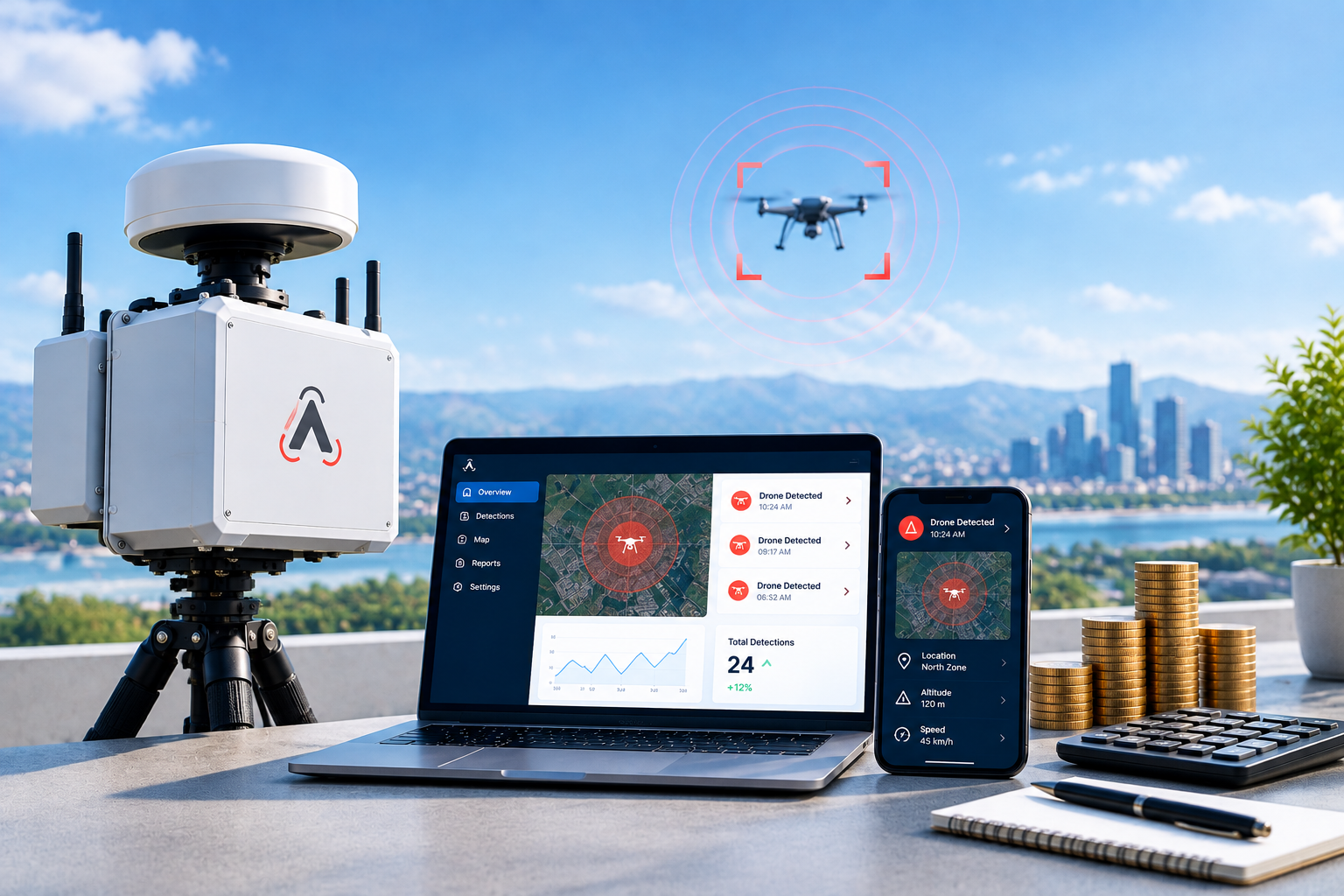
Enterprise drone detection has become a daily operational need for airports, manufacturing sites, stadiums, energy facilities, and campuses. A single unauthorized flight can halt operations, create safety risks, or compromise sensitive areas. FAA data shows illegal drone reports near U.S. airports rose more than 25 percent in the first quarter of 2025 compared with the same period the year before. Organizations now treat airspace awareness the same way they treat perimeter cameras or access control.
This guide covers the four primary methods used in enterprise drone detection today. For each method you will see how it works, typical performance numbers, real-world examples, and the specific gaps that limit it. The goal is practical decision-making, not marketing claims.
Method 1: Radio Frequency Detection
Radio frequency systems form the foundation of most enterprise drone detection deployments. Consumer and commercial drones communicate with their controllers on known bands, most often 2.4 GHz and 5.8 GHz. Many also broadcast Remote ID data that includes the aircraft serial number, current position, altitude, velocity, and the location of the control station.
An RF sensor continuously scans these bands. When it recognizes a drone protocol or a valid Remote ID message, it can report the aircraft location and, in many cases, the pilot location on the ground. Detection ranges for Remote ID commonly reach several miles in open terrain. Direction-finding arrays can further refine the pilot position.
Enterprise drone detection teams value RF because it works day or night and does not require the drone to be visually visible. A manufacturing plant in the Midwest, for example, used RF sensors to identify a recurring pattern of recreational flights near its boundary and coordinate with local authorities before any incident occurred.
Where RF falls short
RF cannot see a drone that flies a pre-programmed route with its radio turned off. It also struggles in dense urban RF environments where Wi-Fi, Bluetooth, and cellular traffic create noise. Fiber-optic controlled aircraft produce no usable radio signature. Range drops when buildings, terrain, or foliage block the signal path. For these reasons RF alone leaves gaps in full enterprise drone detection coverage.
Method 2: Radar Detection
Radar sends out radio pulses and measures the energy that reflects from objects in the air. Specialist systems designed for small targets use micro-Doppler processing to recognize the rapid rotation of propeller blades. This helps separate drones from birds and other clutter.
Radar works regardless of whether the drone is transmitting any radio signal. It functions in darkness, fog, and light rain. Typical detection ranges for small multirotors run from several hundred meters to a few kilometers depending on the radar type, drone size, and installation height. Systems can track multiple objects at once and maintain continuous tracks as the aircraft moves.
A large sports venue layered radar with other sensors to maintain awareness of aircraft approaching from outside the immediate facility boundary. The radar provided early physical tracks that RF alone would have missed on autonomous flights.
Where radar falls short
Standard radars generate false positives from birds, debris, and ground clutter. Classification algorithms reduce but do not eliminate these alerts. Radar requires clear line of sight and is more expensive and power-hungry than RF sensors. It does not identify the pilot or the aircraft make and model. Licensing and frequency coordination can add deployment time. Pure radar therefore cannot stand alone as complete enterprise drone detection.
Method 3: Optical and Thermal Detection
Optical systems use electro-optical cameras in the visible spectrum and infrared cameras that detect heat. Modern platforms apply computer vision to classify objects in the sky and then lock a pan-tilt-zoom camera onto the target for continuous visual tracking.
Optical detection supplies the highest-confidence confirmation. Security teams can see the aircraft size, any visible payload, and flight behavior. Thermal sensors continue working after dark. Recorded video becomes useful evidence for law enforcement or internal review.
An urban campus integrated existing CCTV cameras with detection software. When RF or radar flagged an aircraft, the optical layer automatically slewed cameras for visual verification within seconds.
Where optical detection falls short
Cameras need line of sight and adequate lighting or thermal contrast. Heavy fog, rain, or bright sun glare reduce performance. Detection range is usually shorter than radar or RF, often under 1.5 km for reliable classification of small drones. Optical systems almost always require cueing from another sensor; they are not efficient as primary detectors over large areas. Alone they cannot deliver full enterprise drone detection.
Method 4: Acoustic Detection
Acoustic sensors listen for the distinctive sound of drone motors and propellers. Arrays of microphones can estimate direction, and some systems attempt rough triangulation. Acoustic detection works on fully autonomous aircraft that emit no radio signal and can fill gaps close to the ground where other sensors struggle with clutter.
In quiet rural or industrial settings acoustic sensors have detected low-flying drones that RF systems missed because the radio link was weak or absent.
Where acoustic detection falls short
Ambient noise is the largest limitation. Wind, rain, traffic, machinery, and crowd noise all raise the background level and shrink effective range, often to a few hundred meters. Urban and industrial sites see high false-alarm rates or missed detections. Acoustic systems provide limited range and no pilot location. They function best as a gap-filler rather than a primary layer in enterprise drone detection.
Building Effective Enterprise Drone Detection
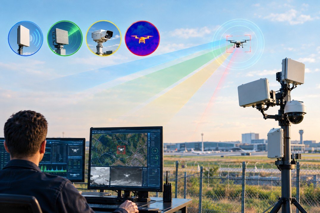
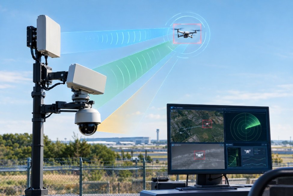
No single method covers every scenario. The strongest deployments combine layers. RF supplies identity and pilot location for the majority of consumer aircraft. Radar catches silent or autonomous flights. Optical systems give visual confirmation. Acoustic sensors cover close-in or low-altitude gaps.
Organizations that need to detect drones near me or simply want reliable awareness of activity around their facilities start by mapping the airspace they must protect, the most common aircraft types they face, and the environmental conditions on site. A short pilot deployment with multiple sensor types quickly reveals which combination produces usable alerts without operator overload.
Enterprise drone detection works best when the data reaches the right people in under a second. Delayed tracks lose value quickly; a drone traveling at 40 mph covers more than 1,000 feet in 20 seconds. Systems that deliver live position, identity, and available pilot location over cellular or existing networks keep response teams working from current information rather than outdated positions.
How to Know if a Drone Is Near
People searching “how to know if a drone is near” or “detect drones near me” often start with consumer apps that display Remote ID broadcasts. These apps show compatible aircraft when the phone is within radio range, but coverage is incomplete and depends on the phone’s antenna, the drone’s broadcast power, and local interference. Professional enterprise drone detection uses fixed or mobile sensors placed for continuous coverage and integrates the data into security workflows.
How quickly should detection data reach the response team?
Ideal systems deliver live tracks in under one second. At typical drone speeds, even short delays place the aircraft far from the last reported position.
Enterprise drone detection is no longer optional for organizations that manage sensitive airspace. Understanding the strengths and exact limits of each method allows security teams to select the right combination, place sensors effectively, and maintain awareness without unnecessary complexity. For facilities that need continuous coverage and rapid data delivery, evaluating multi-sensor platforms designed for enterprise environments is the practical next step.
Frequently Asked Questions
1) What is the most reliable method for enterprise drone detection?
Layered systems that combine RF, radar, and optical sensors deliver the highest reliability. RF handles the majority of commercial aircraft and pilot location; radar covers silent flights; optical confirms the target.
2) Can RF systems detect every drone?
No. Aircraft flying without radio emissions or using non-standard frequencies remain invisible to RF. Radar or acoustic layers are required for those cases.
3) How far can enterprise drone detection systems see?
Remote ID RF detection often reaches several miles in open areas. Radar ranges vary from hundreds of meters to a few kilometers by target size. Optical and acoustic ranges are typically shorter and more environment-dependent.
4) Do I need special licenses for these sensors?
Passive RF and acoustic sensors generally do not. Active radar may require frequency coordination depending on the country and power level. Optical cameras follow normal surveillance rules.
5) How quickly should detection data reach the response team?
Ideal systems deliver live tracks in under one second. At typical drone speeds, even short delays place the aircraft far from the last reported position.

 BLOG · SEP 26, 2026