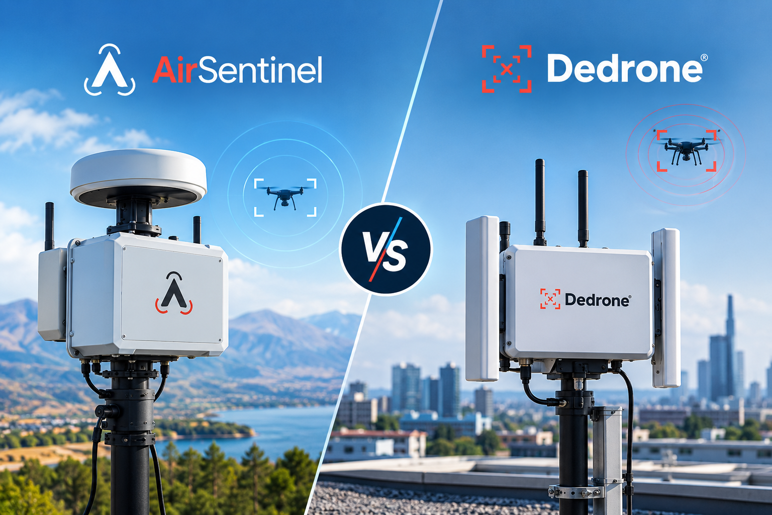
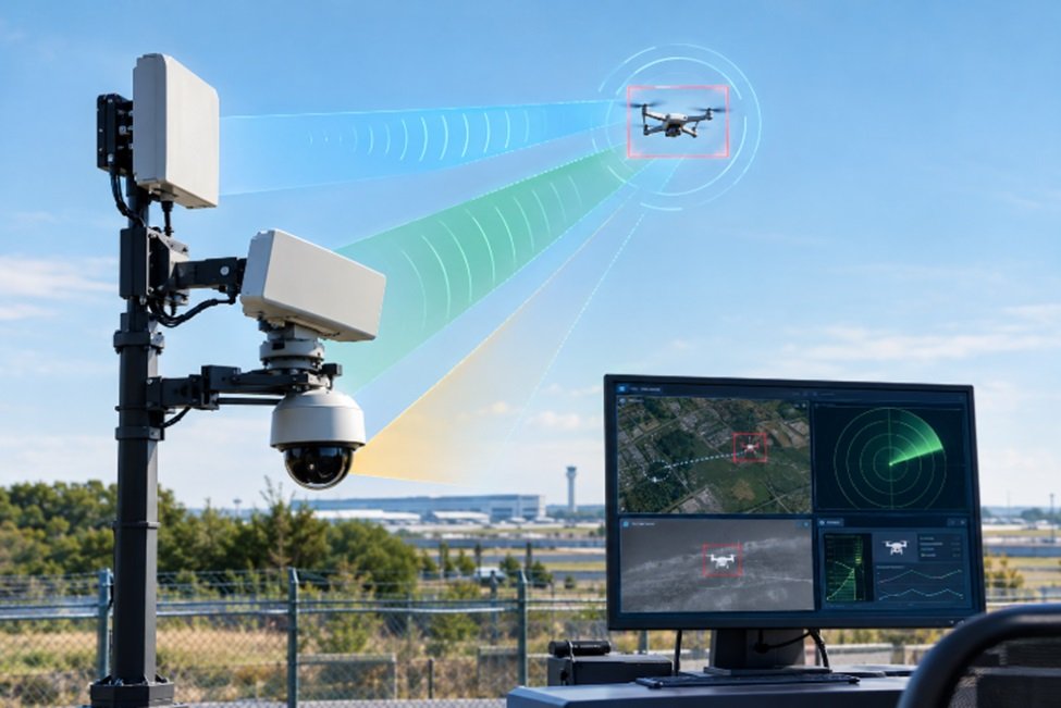
A drone detection system finds, tracks and identifies unmanned aircraft by combining several sensors. RF receivers pick up the radio signals a drone and its controller give off. Radar reads echoes off the airframe. Cameras confirm what the other sensors report. Remote ID receivers read the identification message most drones now broadcast. Software then merges everything into one track on the operator screen.
No single sensor sees every drone, which is why knowing how drone detection works matters more than any number on a spec sheet. This guide covers each layer and what it catches and misses.
How a Drone Detection System Works Step by Step
Here is how drone detection works in practice, in four steps.
Sense. Sensors watch the airspace and flag anything that matches a drone signal or a drone shaped echo.
Correlate. Software compares reports from every sensor and merges duplicates, so one drone appears as one track.
Classify. The system judges what the object probably is, such as a known drone model, an unidentified aircraft or a bird.
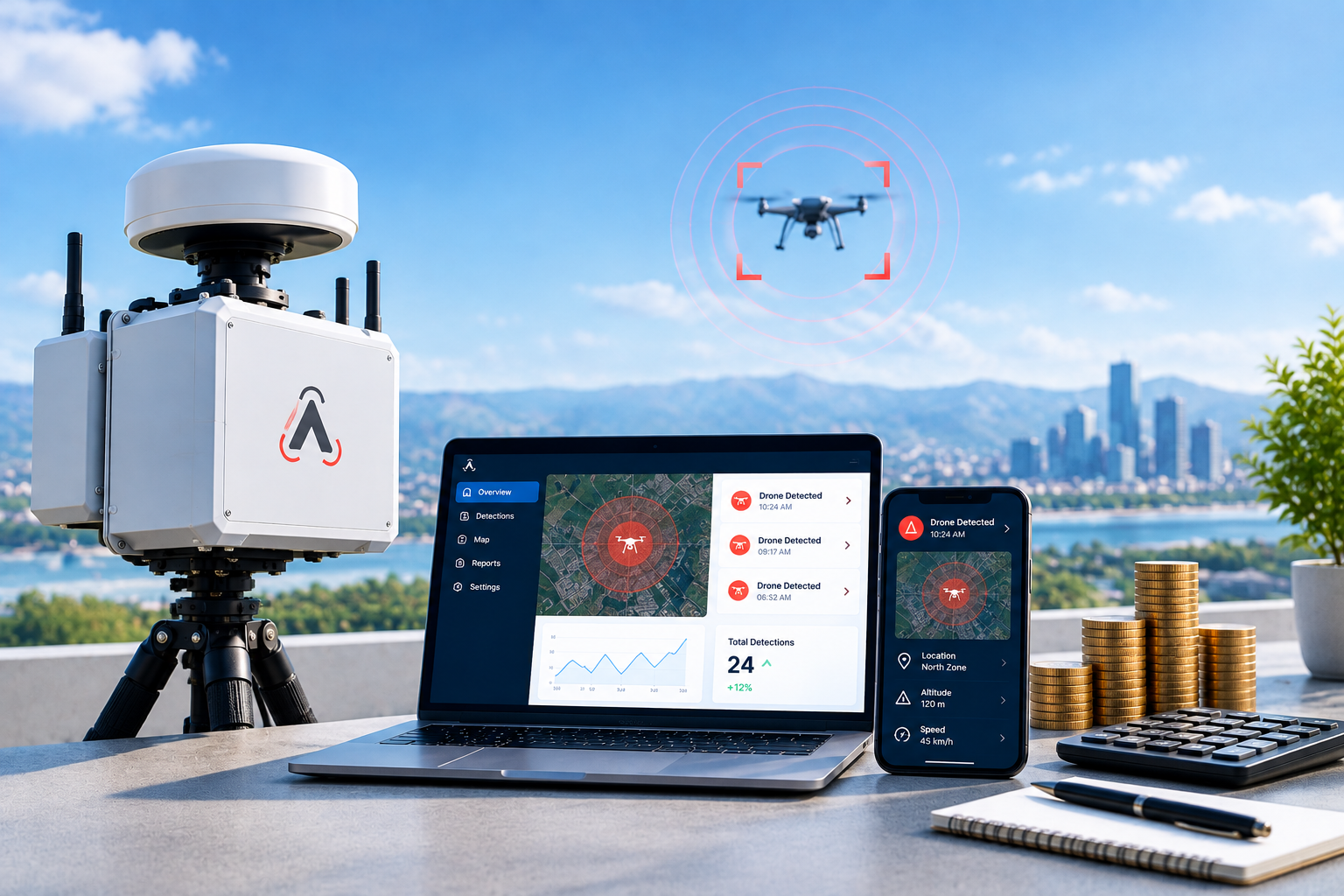
Alert. The track, position and any pilot location reach the operator, ideally within seconds.
At 40 mph a drone covers 1,173 feet in 20 seconds, so a feed that lags that much shows where the aircraft was, not where it is. AirSentinel reports typical live track delivery in under one second over cellular.
RF Drone Detection
RF drone detection is the usual starting layer because most commercial drones keep a constant radio link with their pilot.
How RF sensors work
Consumer drones talk to their controllers on the 2.4 GHz and 5.8 GHz bands. An RF sensor listens on those bands without transmitting, so the pilot has no way to know it is there. From the protocol inside the signal, it can often name the drone model, estimate its bearing and, in many cases, report where the controller is standing.
DJI Drone ID
DJI aircraft also send a proprietary broadcast called DJI Drone ID. Receivers built for it read the serial number, position and pilot location. See our drone identification overview for details.
What RF misses
An autonomous drone flying a stored GPS route with its link switched off gives an RF sensor nothing to hear. Dense city blocks add WiFi and Bluetooth traffic on the same bands, so filtering quality decides how many false alerts your team sees.
Remote ID Detection
Remote ID works like a digital license plate. The FAA requires drones above 0.55 pounds, or 250 grams, to broadcast identity and location during flight over Bluetooth or WiFi. Operators had to comply from March 2024.
The message carries a serial number or session ID, position, altitude, speed, a timestamp and the location of the control station. A receiver reads it directly, so identification needs no signal analysis.
The weakness is cooperation. A pilot smuggling contraband or surveying a facility can disable or fake the broadcast. Treat Remote ID detection as the cooperative layer of any drone detection system. It confirms who is flying by the rules and says nothing about who is not.
Radar in a Drone Detection System
Radar sends out radio energy and measures what comes back. It needs no transmission from the drone, so it catches dark drones with no control link and no Remote ID broadcast. It reports range, altitude, speed and heading in darkness and bad weather.
Where radar struggles
A small quadcopter can return an echo about the size of a large bird. Radar also cannot tell you the make, the operator or the intent, and trees and buildings block its line of sight.
Micro Doppler
Modern radar separates drones from birds using micro Doppler, the signature that spinning rotors add to the returned signal. AirSentinel integrates Echodyne radar for this layer.
Cameras and Other Drone Detection Sensors
Cameras answer the question the other drone detection sensors cannot, which is what the object looks like. Visible and thermal cameras confirm a target, show any payload, work at night and record video for incident reports.
The limit is coverage. A camera sees a narrow slice of sky, so searching with one is slow, and fog, glare and rain cut its range. Cameras work best when RF or radar points them at the target first, a step called cueing. AirSentinel connects optical and thermal cameras from vendors including Axis and Bosch.
Acoustic arrays listen for rotor noise, but wind and traffic limit them to a few hundred meters at best, so most sites skip them.
Drone Detection Sensors Compared
Sensor | What it detects | What it can identify | Main weak spot |
|---|
RF | Drones with an active control link | Model, often pilot position | Autonomous or silent drones |
Remote ID | Compliant drones that broadcast | Serial number, pilot location | Broadcast disabled or faked |
Radar | Any physical object in range | Track only, no make or operator | Birds, clutter, blocked line of sight |
Cameras | Targets cued by another sensor | Shape and payload | Narrow view, weather, darkness |
Why Layered Drone Detection Technology Works Better
Each sensor covers the blind spots of the others. RF names the drone and often finds the pilot. Radar tracks the aircraft RF cannot hear. Cameras verify. Remote ID adds legal identity. That mix is what drone detection technology means at serious sites, and a drone detection system built on one layer will always have a gap.
Fusion removes duplicate tracks
When three sensors see one drone, an unfused screen shows three tracks, and operators lose seconds working out that it is one aircraft. Fusion software correlates the reports and shows a single track. AirSentinel Atlas does this and also accepts third party sensors, so you keep the radar or cameras you already own.
A second sensor stops false alarms
In December 2018, drone reports closed Gatwick Airport for about 33 hours and disrupted roughly 1,000 flights. In late 2024, federal agencies said many drone sightings reported over New Jersey turned out to be manned aircraft. A second sensor that confirms or rules out a track stops operators acting on an unbacked report.
Choosing a Drone Detection System
Start with the threat, not the sensor list. A drone detection system for a prison yard needs different layers than one at an airport.
Known commercial drones in a city or campus: RF drone detection plus Remote ID.
Autonomous or modified aircraft, airports and defense sites: add radar.
Video evidence for police or regulators: add cameras.
Our guide to evaluating drone detection systems lists questions to ask vendors, and our team can map layers to your site.
FAQs
1) How does a drone detection system work?
RF receivers, radar, cameras and Remote ID readers spot the drone. Software merges the reports into one track, classifies the object and alerts an operator.
2) Can radar detect drones?
Yes. Radar detects drones whether or not they transmit, including autonomous aircraft. It cannot name the make or operator, so it is usually paired with RF or Remote ID.
3) Can a drone detection system locate the pilot?
Often. RF sensors can report the controller position for supported drones, and Remote ID includes the control station location. A drone on a stored route with no link or broadcast gives none.
4) Is it legal to use a drone detection system?
In the United States, passive detection that only receives signals is generally legal. Mitigation such as jamming or taking control is restricted to specific federal authorities. Check local rules with counsel.
5) How far can a drone detection system detect a drone?
It depends on the sensor, the drone and the site. AirSentinel standard antennas reach 1 to 12 miles depending on environment, while radar and camera range varies by model and line of sight. Placement often matters more than the headline number.

 BLOG · SEP 25, 2026