Build the airspace brief
Identify planned production and public-safety flights, monitored zones and the teams responsible for assessment before the first audience arrives.

Drone detection for concerts, festivals, parades and major gatherings. Build airspace awareness into the event plan, with shared intelligence for venue security and authorized public-safety partners.
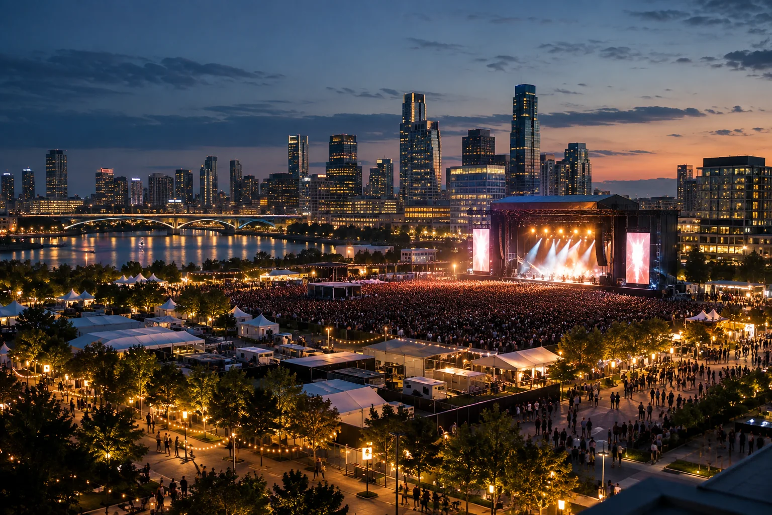
Event airspace can include authorized media drones, public-safety aircraft and unfamiliar flights from outside the venue. The activity changes during setup, peak attendance and departure. A useful deployment covers the operation as it develops and gives each alert a clear owner.
AirSentinel brings supported drone tracks into Atlas and the broader event command environment. Geofences, known-aircraft context, watchlists and shared flight views help teams assess the event quickly. Patterns of Life adds available history from previous observations and participating sites.
Identify planned production and public-safety flights, monitored zones and the teams responsible for assessment before the first audience arrives.
Share the current track and available ground-location information with authorized personnel. A phone-ready event view supports coordination away from the command post.
Review recurring aircraft, approach patterns and the timing of activity. Use that history to refine the next day’s monitoring and response plan.
Temporary structures can change reception and camera views. Stages, video screens, grandstands and service vehicles should be considered in the final deployment configuration. Test after the major structures are in place, and verify the power and network path under conditions representative of event operations.
AMS can support a focused installation or a distributed deployment connected through Atlas. Add radar and optical verification where the event’s risk assessment calls for additional observation. Agree how the information reaches command and how field recipients open it; sensor range alone does not describe the time available to act.
Explore RF, radar and optical integrationConfirm expected flights, areas of interest, equipment locations and event command responsibilities.
Review the actual track against the event footprint and known activity rather than escalating solely because a drone is nearby.
Give authorized responders the shared event and available control-station or launch context through the agreed process.
Examine the recorded sequence, notification timing and coverage before the next event or operating period.
Atlas can be the event’s common airspace interface or supply intelligence to an established C2. Compatible third-party sensors can be ingested into Atlas; AMS and configured fusion outputs can be sent onward through APIs. Define access and sharing for the temporary team, including who retains responsibility when the event changes from setup to live operations and then closes.
Explore Atlas interoperabilityAgree the acceptance criteria before the deployment, then exercise the full workflow.
Read the evaluation guideYes. AirSentinel can plan a temporary deployment around the site, installation window, power, connectivity and required sensing. Test the completed setup before the event.
No. A monitoring geofence is a software alert boundary. Any applicable airspace restriction or operational authority is established through the relevant external process.
A professional sports venue combines its own sensors with authorized shared city observations to understand activity beyond the venue perimeter.
Prepare the sensing, monitoring and field-sharing workflow before the gates open.