Monitor approaches to the facility
Review the aircraft’s relationship to monitored yards, buildings and perimeter areas. Design reception around the required approach coverage.

Drone detection for prisons and correctional facilities. Connect approaching aircraft, available operator-location information and repeated activity with the teams responsible for facility security.
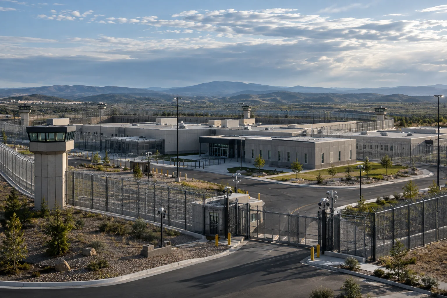
Drone-enabled contraband activity crosses a boundary that walls and gates were not built to monitor. The immediate question is where the aircraft is and which part of the facility may be affected. A second question is whether the event connects to previous flights or observations outside the perimeter.
AirSentinel brings current supported tracks and available historical context into Atlas. Geofence alerts can focus attention on monitored areas, while source-dependent control-station or launch information can help authorized teams assess where a ground response may be useful. A location is evidence to evaluate; it is not proof of the identity or intent of a person.
Review the aircraft’s relationship to monitored yards, buildings and perimeter areas. Design reception around the required approach coverage.
Use available identifiers, track history and shared observations to examine recurring visits and activity at participating facilities.
Provide facility personnel and authorized external responders with the same event context while keeping their responsibilities clear.
Perimeter walls, rooflines and neighboring terrain can screen aircraft at low altitude. Evaluate the protected areas and approaches directly, including conditions relevant to night operations. A receiver’s longest observed range does not establish persistent close-in coverage around every building.
AMS Remote ID reception supplies information from supported broadcasts. Pro and Pro Max add supported manufacturer-signal intelligence; they do not make every aircraft observable through RF. Where the threat assessment includes non-broadcasting or unsupported aircraft, integrate appropriate radar and optical sensing. Confirm what each source contributes and how an operator reviews uncertain or incomplete information.
Explore RF, radar and optical integrationReview the current track, monitored area and source information rather than treating a map alert as a complete account of the event.
Share the relevant event with the team responsible for the affected area under the facility’s procedures.
Provide available control-station or takeoff context to designated responders, preserving the distinction between those locations.
Review the recorded activity alongside previous observations and relevant facility information for follow-up investigation.
Atlas can ingest compatible third-party sensors and send configured fused tracks and AMS intelligence to the facility’s existing C2 or intelligence system. Define a clear alert owner, the permitted external sharing and the records required for incident review. Historical tracks help establish what the system observed; evidence handling and further attribution remain part of the agency’s process.
Explore Atlas interoperabilityAgree the acceptance criteria before the deployment, then exercise the full workflow.
Read the evaluation guideRF identity and position data do not reveal a payload. Optical assessment may add visible context, but the sensing configuration and viewing conditions determine what can be observed.
No. Standard Remote ID and supported manufacturer signals may provide control-station information. A Remote ID broadcast module supplies a takeoff location, and other aircraft may provide no usable ground location.
Discuss facility coverage, historical context and authorized response coordination.